Parish Walks
The Parish Path Warden has updated most of the Walks that are detailed in this section of the Website. As a result of this each walk that has been reviewed and revised is now accessed via this Page.
Walks in and around the Parish and the Countryside Code
Please click on the following link to view or download an introduction to our Parish Walks, Links to other waymarked walking routes in or close to our area and the Countryside Code
Introduction to Parish Walks and the Countryside Code
The following Links allow you to view or download the Text Details of each revised Walk and their associated Map(s) and their associated GPX Files. Please note that the Lengths of the walks are rounded to the nearest quarter of a mile and the Time is based upon walking at an average speed of around 2 to 3 miles per hour
| Walk Title / Link to Details of Walk | Length & Time for Walk | Map 1 | GPX | Map 2 | Map 3 |
| A - Stoke Prior and Upton Warren | 3.5 Miles - 1.75 Hours | Map 1 | GPX | n/a | n/a |
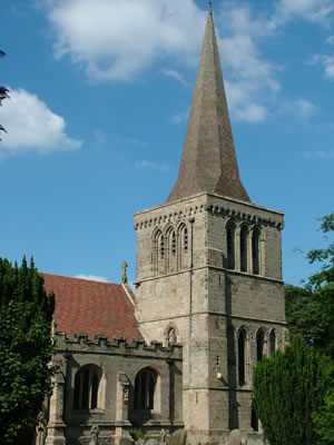
| B - Avoncroft Museum and St Michael's Church | 4.25 Miles - 1.5 Hours | Map 1 | GPX | n/a | n/a |
| C - Stoke Flight and Woodgate | 3.75 miles - 2 Hours | Map 1 | GPX | n/a | n/a |
| D - Dodderhill Common and Hanbury Hall | 6.75 Miles - 3.5 Hours | Map 1 | GPX | n/a | n/a |
| E - Pipers Hill and Two Tree Hill | 5.5 Miles - 3 Hours | Map 1 | GPX | n/a | n/a |
| F - Lickey Train Incline and Tardebigge Locks Flight | 12.25 Miles - 5.5 Hours | Map 1 | GPX | Map 2 | n/a |
| G - Worcestershire Wildlife Trust Reserves | 11.5 Miles - Most of Day | Map 1 | GPX | Map 2 | Map 3 |
| H - The John Corbett Way (JCW) | 6.75 Miles - 6 Hours | Map 1 | GPX | Map 2 | n/a |
| J - JCW - Return to Avoncroft | 7.25 Miles - 6 Hours | Map 1 | GPX | Map 2 | n/a |
| K - Finstall and Stoke Prior | 6.75 Miles - 3 Hours | Map 1 | GPX | n/a | n/a |
| L - Upton Warren and Grafton | 4.0 Miles - 2 Hours | Map 1 | GPX | n/a | n/a |
| M - Brush Works Permissive Path | 1.3 Miles - 1 Hour or Less | Map 1 | GPX | n/a | m/a |